Projects. |
Current Projects.
|
This project is developing a geospatial framework to optimize the deployment of solar-plus-storage for the most vulnerable and at-risk communities in Central Florida and the Florida Panhandle. The research team will determine the relationship between extreme weather events and grid outages to quantify vulnerability and risk before selecting the optimal location to site solar and solar-plus-storage. Ultimately, this interdisciplinary geospatial framework can be translated and scaled to other communities around the world with the end goal of helping provide clean, affordable, and resilient energy systems to those who need it most.
Read more... |
|
The research goal of this Faculty Early Career Development (CAREER) project is to illuminate where existing dependencies in space and time make such events more likely, how they are changing through time, and how humans and the built environment are affected by them. This will lead to better-informed decisions to mitigate short- and long-term risk and facilitate more efficient emergency response and coastal adaptation planning. A new generation of diverse coastal researchers and practitioners will be trained to be able to work across science and engineering disciplines by integrating classroom instruction, summer training and networking events, and outreach activities with community partners.
Read more... |
|
Risks from rising seas, shifting storms, and eroding coastlines, as well as changing ecosystems and development patterns, are escalating in coastal megalopolises around the world. Local, state, and federal climate risk management decisions are interacting with one another and coastal dynamics in complex ways that will shape risk patterns for decades. However, the frameworks informing these decisions are often ill-suited for sustained, complex environmental changes unfolding under deep uncertainty and often reinforce existing inequities. The CoPe Megapolitan Coastal Transformation Hub (MACH) aims to develop climate-resilient decision-making frameworks to equitably support coastal communities.
Read more... |
|
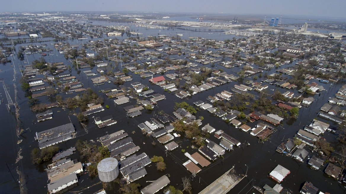
Changes in climate and associated extreme weather events are already affecting Florida’s inland and coastal communities and infrastructure. Most notably, the frequency of high tide flooding events in some coastal regions of Florida has increased significantly as a result of sea level rise, higher tides, and storm surge. There are concerns that extreme rainfall is also increasing, which has led to flooding in both inland and coastal communities. Flooding is projected to increase further in the next few years to decades, becoming more severe with time. The proposed research is focused on potential modifications to current manuals of practice being used by Florida Department of Transportation (FDOT) for transportation project design.
Read more... |
|
We are developing a scalable hybrid (statistical/numerical) modelling framework to incorporate compound flooding from oceanographic and fluvial drivers into graduated coastal hazard risk assessments at the structure level. By considering a range of boundary conditions, our proposed approach allows for the quantification of the uncertainty of flood levels and highlights the spatially explicit differences in forcing conditions. As the statistical models are non-stationary, the effects of changing physical conditions (e.g., sea level rise, changes in storminess) can be easily included in future assessments.
Read more... |
|
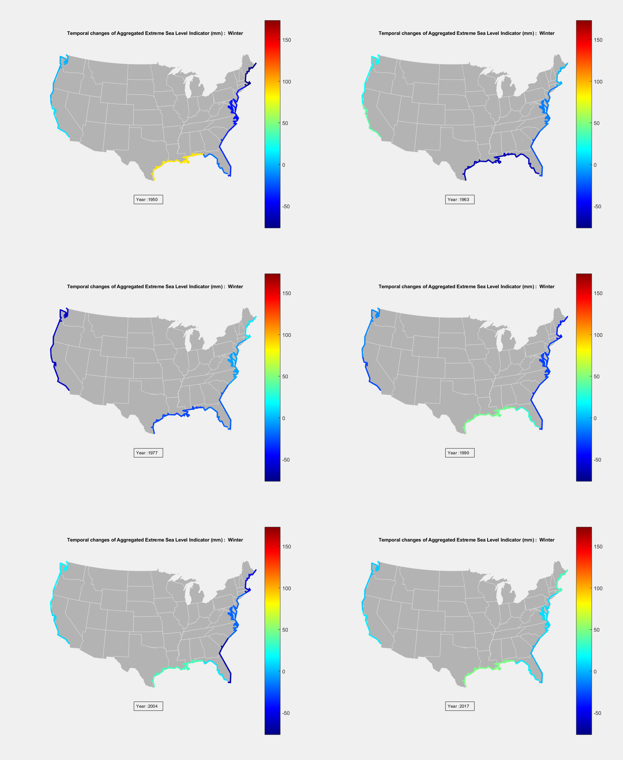
We will improve the scientific basis and usefulness of information made available to decision makers related to ongoing changes in the frequency and severity of coastal sea level extremes during the next ~30 years. We will use observations to document past changes in the astronomical tides, storm surges, and mean sea level along the coastal US and US territories. We will use observations and models to identify what processes in the Earth system caused those changes, and quantify how those processes and changes interacted and influenced one another. We will use this new knowledge of past changes and their physical causes to make more robust projections of coastal extreme sea level statistics up to a few decades into the future. Our research will contribute to the NASA Sea Level Change Science Team’s larger goals of providing evidence of sea level change, quantifying contributions to sea level variability, and developing projections of sea level changes.
Read more... |
|
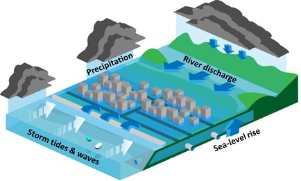
Many populated coastal regions are vulnerable to multiple types of flooding. Storm surge and waves can impact coastal regions from the ocean and heavy precipitation can cause river and urban flooding. These kinds of flooding events have generally been considered independently, but it is well known that the same storms can produce multiple types of flooding. This project will address these multiple, coincidental flooding events, known as compound flooding. The main societal impact of the award will be in the areas of weather forecasting and risk management. The research team will engage other federal agencies, such as the Army Corps of Engineers and the US Geological Survey, to relay the results of the project to the infrastructure planning communities. This project also represents an international collaboration between scientists from the US and the UK.
Read more... |
|
The first line of defense for residents and their resilience is housing protected from natural hazard impacts. Yet many residents remain unaware that the building codes and zoning regulations they expect to protect them become outdated as environmental stressors, local development patterns, materials science, and construction practices change. Improved residential risk disclosure is a key component for building resilient communities. To make informed decisions about where to live and how to protect housing investments, residents require knowledge about potential natural hazard exposure and impacts along with available mitigation strategies. This project aims to advance community resilience by improving people’s understanding of risks and their willingness to undertake hazard mitigation when choosing where they live. The project team will work with communities throughout the Gulf region to test strategies for dissemination and uptake of information on disaster risk and mitigation alternatives. The ultimate goal is to identify practices most likely to result in residents taking actions to reduce risk and increase resilience.
Read more... |
|
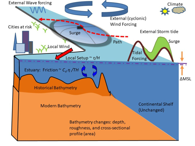
Coastal flooding is one of the most dangerous and damaging natural hazards that societies face, and coastal development and climate change are causing a dramatic rise in vulnerability. Since the 19th century, estuary channels have typically been deepened and widened by a factor of two or three, harbor entrances have been deepened and streamlined, and a large proportion of wetlands have been filled over and replaced with neighborhoods. Such geomorphic changes increase flood risk by reducing natural resistance to storm surge and tides. Similarly, sea level rise and climate-modulated variations in storm characteristics such as intensity, size and track path also alter flood risk. The overarching goal of the proposed research project is to reveal and contrast the mechanisms by which these geomorphic and climatic changes alter flood risk. This goal will be met using a combination of computational modeling, historical climate and storm surge data analysis, and theory-based synthesis. It will improve the well-being of communities within urbanized harbors and estuaries by highlighting coastal development practices that can worsen coastal flooding. The project plan increases scientific literacy and engagement, and connects the research to applications through interactions with local stakeholders and governments, as well as the US Geological Survey and the US Army Corps of Engineers.
Read more... |
Compound and Cascading Hydrological Events
|
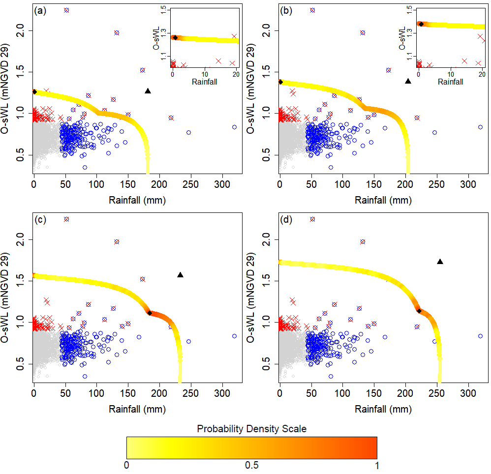
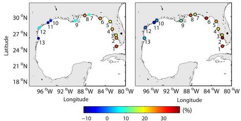
We support the US Army Corps of Engineers (USACE) in assessing compound flooding from multiple drivers for their coastal projects. This includes exploring dependencies between the relevant drivers along the entire US coastline to identify hotspots where the probabilities of certain drivers to coincide is relatively higher and/or has changes in the past, leading to non-stationarity currently not accounted for in the project design. We also conduct case studies (for example recently for the Sabine Lake, TX, area) where we use statistical frameworks and machine learning to quantify the impacts of compounding effects between flooding drivers, such as rainfall/discharge and storm surge.
|
|
Modeling associated with Flood Protection Level of Service (FPLOS) requires consideration of astronomical tides and storm surge, extreme rainfall associated with various return periods, and initial water table all of which have a significant influence on the depth and duration of flooding in coastal basins. Typically, the modeling strategy includes modeling of extreme rainfall magnitudes of various frequencies in the range of 5-100 years. The hydrologic/hydraulic modeling system used for coastal basins also requires downstream boundary conditions at the water control structures which discharge flood waters to the ocean.
Read more... |
|
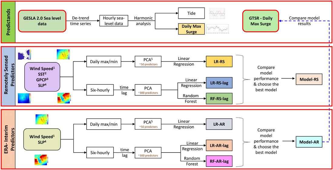
The goal of this project is to develop statistical models combining remote sensing atmospheric and oceanographic data with coastal sea level information from in-situ observations and numerical model hindcasts to accurately simulate global storm surges for the past, present, and future at low computational cost and assess associated socio-economic impacts.
Read more... |
Past Projects.
Sponsors.
Copyright © Coastal Risks & Engineering Lab, University of Central Florida, Orlando, Florida.
All Rights Reserved.
Website developed and maintained by Javed Ali.
All Rights Reserved.
Website developed and maintained by Javed Ali.

